
Are you yearning for an adventure that transcends the classic Inca Trail? Step off the beaten path and embrace the allure of Peru’s hidden gems! While the iconic Inca Trail is a bucket-list experience for many, it can be crowded, so it’s essential to explore alternative routes that offer breathtaking views and authentic cultural encounters. In this article, we unveil the top five off-the-radar Inca trails that promise not just solitude but also mesmerizing landscapes and rich history. From lush forests to awe-inspiring peaks, each trail invites you to forge your own journey through the heart of the Andes. Whether you’re a seasoned trekker or a casual explorer, these hidden gems will ignite your spirit of adventure and leave lasting memories. Get ready to lace up your hiking boots and immerse yourself in the mystique of Peru—where every step leads to epic discoveries!
The allure of the classic Inca Trail is undeniable, drawing thousands of adventurers each year to its ancient paths. However, the very popularity that makes it so famous can also detract from the experience. The trail is often crowded, and permits are limited and sell out quickly. For those seeking a more intimate and unique journey, the alternative Inca trails offer a perfect solution. These lesser-known routes not only provide solitude but also present stunning landscapes and rich cultural experiences that are every bit as enchanting as the iconic trail.
Choosing an alternative Inca trail means venturing into less-traveled regions where you can truly connect with nature and immerse yourself in Peru’s history and culture. These routes traverse varied terrains, from lush cloud forests to high-altitude passes, and often include interactions with local communities. The opportunity to witness traditional Andean lifestyles and ancient ruins untouched by heavy tourist traffic is a rare and rewarding experience.
Moreover, these trails cater to a range of trekking preferences and abilities. Whether you are an experienced hiker looking for a challenging adventure or a casual explorer seeking a moderate trek, there is an alternative Inca trail that suits your needs. The diversity of these trails ensures that every adventurer can find their perfect path—and perhaps even discover a deeper connection to the storied land of the Incas.

Peru’s alternative Inca trails are diverse, each offering its own unique blend of natural beauty, historical significance, and cultural richness. In this article, we will explore five standout routes: the Salkantay Trek, the Lares Trek, the Inca Jungle Trail, the Choquequirao Trek, and the Vilcabamba Trek. Each of these trails promises an epic adventure, taking you through some of the most breathtaking and less-visited parts of the Andes.
The Salkantay Trek is renowned for its dramatic scenery, passing through varied landscapes that range from snowy peaks to tropical forests. This trail offers an exhilarating challenge for trekkers and culminates with a visit to the iconic Machu Picchu. The Lares Trek, on the other hand, is perfect for those interested in cultural immersion. This route traverses traditional Andean villages, offering trekkers the chance to engage with local communities and experience their way of life.
For those seeking an adrenaline rush, the Inca Jungle Trail combines hiking, biking, and even zip-lining, offering a diverse and thrilling adventure. The Choquequirao Trek takes you to the lesser-known but equally impressive ruins of Choquequirao, offering a journey back in time to a significant yet often overlooked archaeological site. Lastly, the Vilcabamba Trek explores the remote Vilcabamba region, the last refuge of the Inca Empire, blending history with natural splendor.
Each of these trails offers a unique perspective on Peru’s incredible landscapes and heritage. By stepping off the beaten path, you open yourself up to experiences that are both enriching and unforgettable. Now, let’s delve deeper into what makes each of these trails exceptional.

The Salkantay Trek is often considered one of the most beautiful alternative routes to Machu Picchu. Named after the majestic Salkantay Mountain, this trek offers a diverse and breathtaking journey through the Andes. The trail spans approximately 74 kilometers and typically takes about five days to complete. Trekkers will experience a wide range of ecosystems, from high-altitude alpine environments to lush tropical forests.
The journey begins in the town of Mollepata, where you will start your ascent towards the Salkantay Pass. Reaching an altitude of 4,600 meters, the pass is the highest point of the trek and offers panoramic views of the snow-capped Salkantay Mountain. The dramatic scenery of rugged peaks and glacial lakes is nothing short of awe-inspiring. As you descend from the high pass, the landscape transforms into a verdant cloud forest, teeming with diverse flora and fauna.
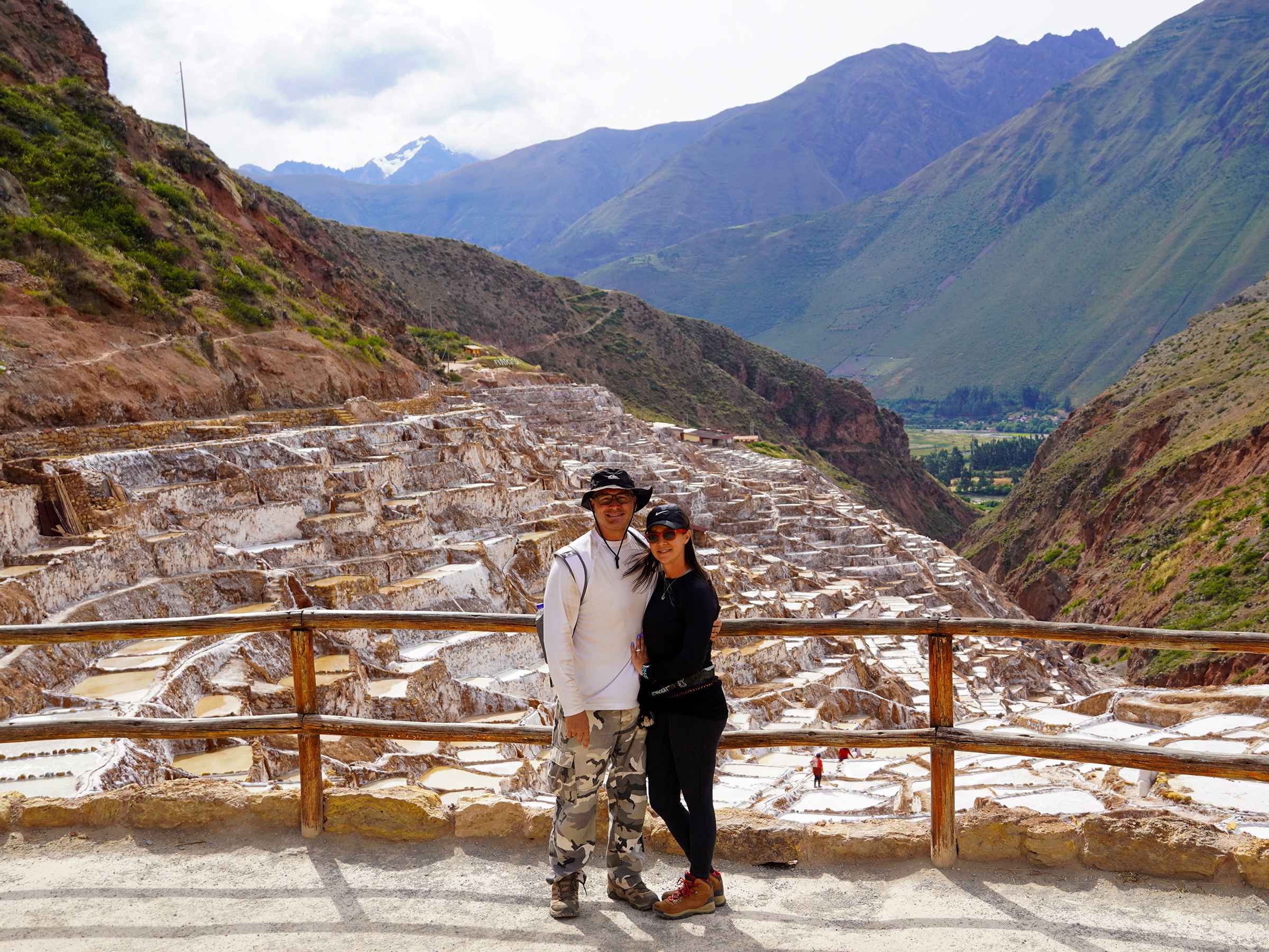
One of the highlights of the Salkantay Trek is the opportunity to visit Humantay Lake. This turquoise glacial lake, surrounded by towering mountains, is a sight to behold. The trek also includes stops at various small villages where you can interact with local Quechua-speaking communities and learn about their traditional way of life. The final stretch of the trek takes you through the stunning Santa Teresa Valley before arriving at Aguas Calientes, the gateway to Machu Picchu. Completing the trek with a visit to the ancient citadel is the perfect culmination of this epic adventure.
Salkanntay Trekking Tours

For those who crave adventure and variety, the Inca Jungle Trail is the perfect choice. This unique route combines hiking, mountain biking, rafting, and even zip-lining, offering a thrilling, diverse journey to Machu Picchu. The Inca Jungle Trail typically spans 4 days and covers approximately 49 kilometers. This trail is ideal for adrenaline junkies and for those who enjoy combining activities during their trekking experience.
The adventure begins in the town of Santa Maria, where you will embark on a mountain biking descent through the lush tropical forest. The winding roads and stunning scenery make for an exhilarating ride. The following day, you will hike along ancient Inca trails, passing through coffee plantations and small villages. The opportunity to raft down the Urubamba River adds an exciting twist to the journey and lets you experience the region’s natural beauty from a different perspective.
One of the highlights of the Inca Jungle Trail is the chance to zip-line over the verdant canopy, providing an adrenaline-pumping view of the landscape below. The trek concludes with a hike to Aguas Calientes, where you can relax and prepare for your visit to Machu Picchu. The combination of diverse activities and stunning scenery makes the Inca Jungle Trail a unique and unforgettable adventure.
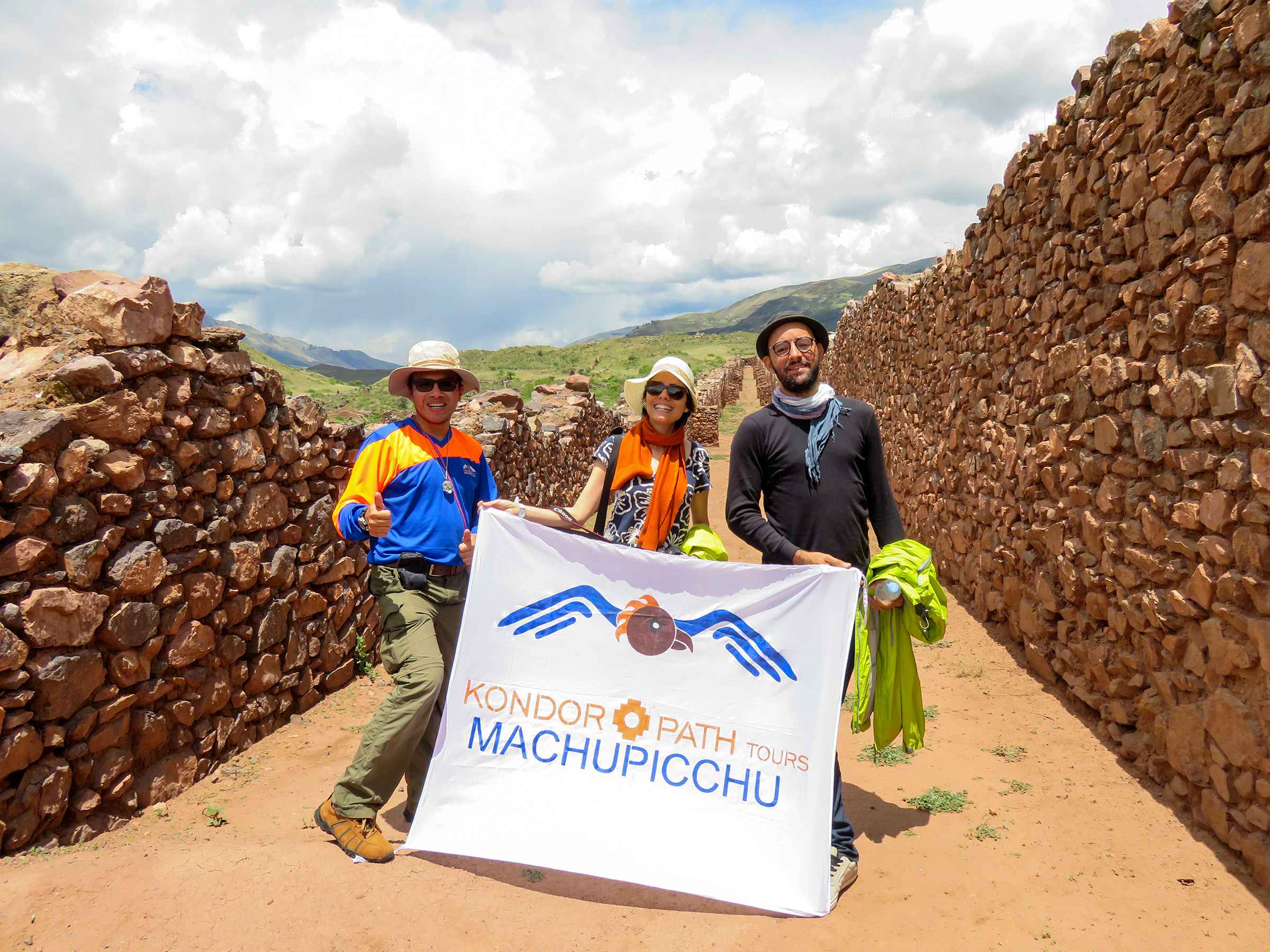
The Choquequirao Trek is a journey to one of the most significant yet least-visited archaeological sites in Peru. Choquequirao, often called the “sister city” of Machu Picchu, is a sprawling complex of terraces, plazas, and temples nestled high in the Andes. The trek to Choquequirao is challenging, spanning approximately 58 kilometers and typically taking four to five days to complete. However, the reward is the opportunity to explore these impressive ruins in relative solitude.
The trek begins in the town of Cachora, where you will descend into the Apurimac Canyon. The steep descent is followed by a challenging ascent to the ruins of Choquequirao, which are perched at 3,050 meters. The journey through the canyon offers stunning views, and the sight of the ruins emerging from the mist is nothing short of magical. Choquequirao is believed to have been an important ceremonial center and administrative hub of the Inca Empire. The site is still being excavated, and discoveries continue to be made.
Exploring the terraces, plazas, and temples of Choquequirao provides a fascinating glimpse into Inca engineering and architecture. The site is much larger than Machu Picchu and offers a more intimate, contemplative experience because it is less crowded. The return journey retraces your steps through the Apurimac Canyon, allowing you to appreciate the rugged beauty of the landscape fully. The Choquequirao Trek is a demanding but enriching adventure for those seeking to explore a lesser-known gem of Inca history.

Choquequirao Treks

The Vilcabamba Trek takes you through the remote and rugged region of Vilcabamba, the last refuge of the Inca Empire after the Spanish conquest. This trek is steeped in history and offers a journey through some of Peru’s most pristine, untouched landscapes. The Vilcabamba Trek typically spans six to seven days and covers approximately 70 kilometers, making it one of the more challenging alternative Inca trails.
The trek begins in Huancacalle, where you will visit the archaeological site of Vitcos, a significant Inca settlement. From there, the trail ascends through dense cloud forests and high-altitude passes, offering stunning views of the surrounding peaks. The journey through the Vilcabamba region is a step back in time, as you traverse ancient Inca trails and pass through remote villages where traditional ways of life are still practiced.
One of the highlights of the Vilcabamba Trek is the visit to the ruins of Llactapata, an Inca site that offers a unique perspective of Machu Picchu. The final stretch of the trek takes you through the lush Santa Teresa Valley before arriving at Aguas Calientes. The combination of historical significance and natural beauty makes the Vilcabamba Trek a truly epic adventure.
Planning an alternative Inca trail adventure requires careful preparation to ensure a safe and enjoyable experience. Here are some tips to help you get ready for your trek:
By following these tips, you can ensure a safe and memorable adventure on one of Peru’s alternative Inca trails.
Discovering the hidden gems of Peru’s alternative Inca trails offers a unique and rewarding experience that goes beyond the classic Inca Trail. Each of the top five alternative trails—the Salkantay Trek, the Lares Trek, the Inca Jungle Trail, the Choquequirao Trek, and the Vilcabamba Trek—presents its own blend of natural beauty, cultural richness, and historical significance.
By choosing an alternative trail, you can escape the crowds and immerse yourself in the stunning landscapes and vibrant cultures of the Andes. Whether you seek a challenging adventure, a cultural immersion, or a thrilling multi-activity trek, there is an alternative Inca trail that will ignite your spirit of adventure and create lasting memories.
So, lace up your hiking boots, pack your sense of adventure, and embrace the journey beyond the classic trail. Peru’s alternative Inca trails await, ready to unveil their hidden gems and offer you an epic adventure of a lifetime.

Ayahuasca is one of the most fascinating traditional plant medicines of the Amazon. Used for centuries by indigenous…

Peru is a land of diverse landscapes and rich cultural heritage, and the Huchuy Qosqo Trek is a…
Peru is a treasure trove of historic sites, with Machu Picchu often stealing the spotlight. However, the lesser-known…

Nestled in the high Andes of Peru, Qeswachaka stands as a testament to ancient Inca engineering and the…
Nestled in the highlands of Peru, Pikillacta stands as a testament to ancient civilizations that predate the Inca…

The Ancascocha Trek is one of Peru’s most spectacular hidden hiking routes to Machu Picchu. Often called the…

Nestled in the breathtaking landscapes of the Sacred Valley, Tambomachay is a hidden treasure that whispers tales of…

The Ancascocha Trail is one of Peru’s most spectacular alternative treks to Machu Picchu. Often overshadowed by the…

Huchuy Qosqo Trek vs. Classic Inca Trail: Which Adventure is Right for You? Introduction Peru’s Sacred Valley has…

Located just outside Cusco, Qenqo is one of the most mysterious and fascinating archaeological sites of the Inca…

Visiting the historic Cusco City Tour offers travelers the opportunity to discover one of Peru’s most important colonial…

Cusco is one of the best destinations in South America for multi-day adventures. Surrounded by ancient Inca sites,…