
Exploring the mysterious Nazca Lines flight experience is one of the most unforgettable archaeological adventures in Peru. These enormous desert geoglyphs continue to intrigue historians, archaeologists, and travelers with their massive scale, ancient symbolism, and mysterious origins.
This guide explores the history of the Nazca civilization, the theories behind the famous desert symbols, how the geoglyphs were created, and the best ways to experience the Nazca Lines in southern Peru.

Nestled in the arid desert plains of southern Peru, the Nazca Lines are one of the world’s most intriguing archaeological wonders.
These enormous geoglyphs, etched into the surface of the earth, have captured the imagination of historians, archaeologists, and travelers alike.
In this article, we will delve into the mystery surrounding the Nazca Lines, exploring their origins, significance, and the theories that attempt to explain their existence.
The Nazca Lines are a collection of massive geoglyphs carved into the desert floor using natural elements such as stones and earth.
These geoglyphs stretch across nearly 50 square kilometers of the Nazca Desert in Peru.
The lines form various shapes, including animals, plants, and geometric patterns.
Some of the most famous figures include a monkey, a hummingbird, a spider, and a condor.
The Nazca culture, which flourished from around 200 BCE to 600 CE, is credited with creating these lines.
They were a pre-Incan civilization known for their advanced skills in ceramics, textiles, agriculture, and engineering.
Their society developed in one of the driest regions of Peru, requiring sophisticated water management systems and ceremonial traditions closely connected to nature.
Many researchers believe the geoglyphs were linked to religious rituals, fertility beliefs, and astronomical observations.
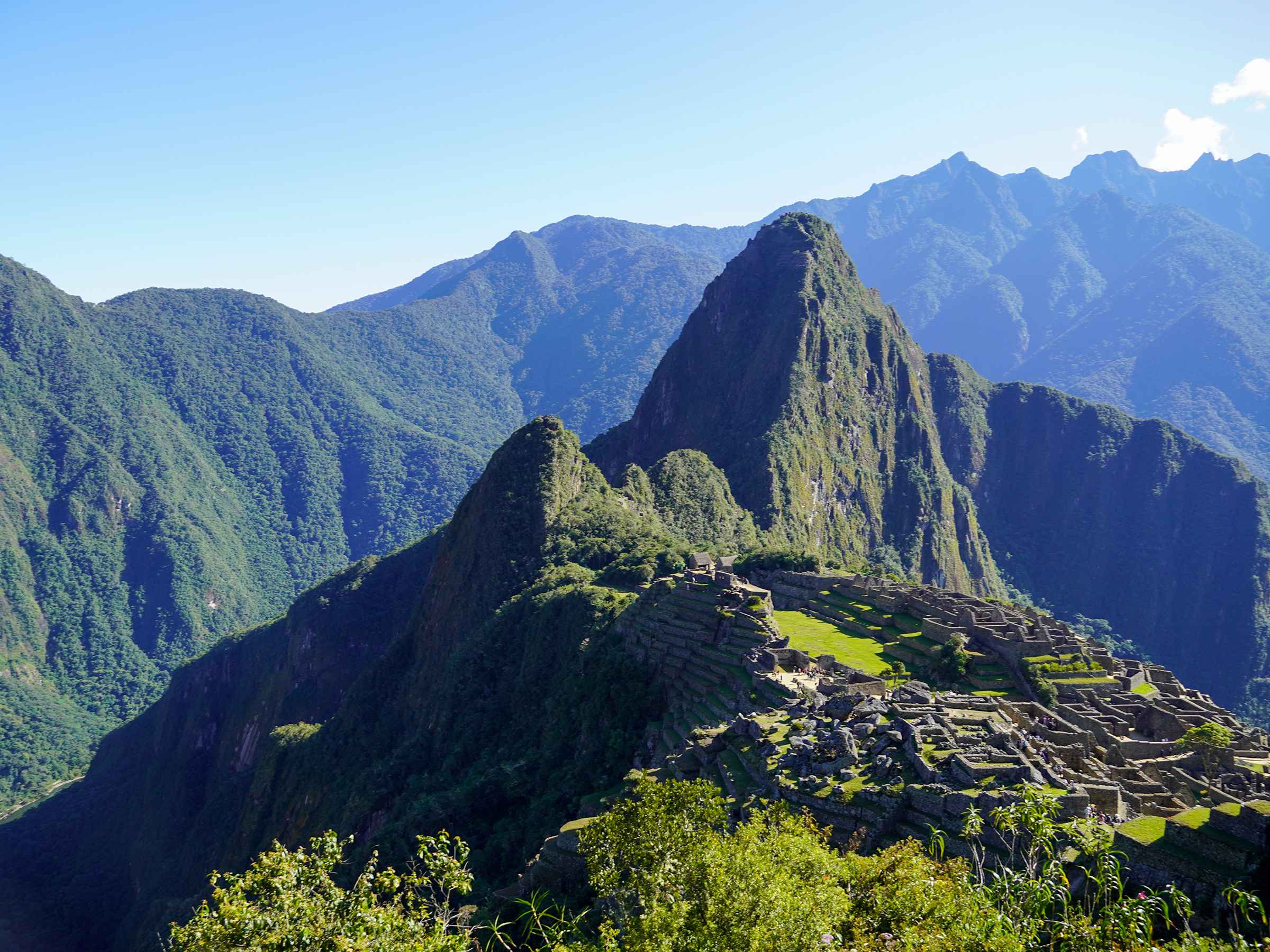
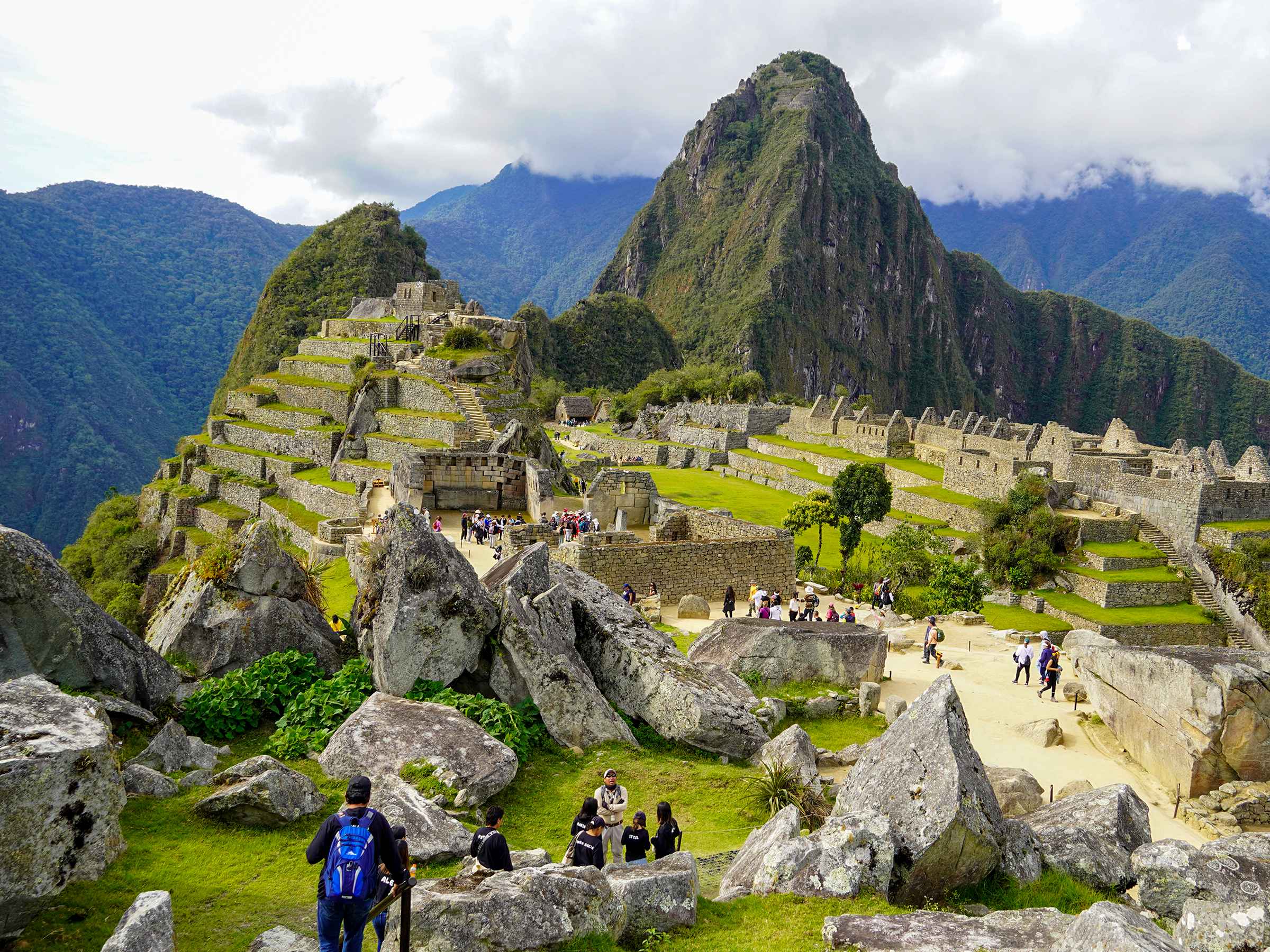
Travelers interested in Peru’s ancient civilizations may also enjoy exploring the archaeological circuits of Machu Picchu and other pre-Columbian sites across the Andes.
The Nazca Desert, where the lines are located, is one of the driest places on Earth.
Its arid climate and minimal vegetation create ideal conditions for preserving the geoglyphs.
The flat desert plains and stable weather patterns have helped protect the lines for centuries.
The contrast between the reddish-brown surface stones and the lighter soil beneath makes the designs visible even from high altitudes.
This unique environment explains why the geoglyphs remain remarkably intact despite being over a thousand years old.

nazca lines flight from ica
The Nazca people created the geoglyphs by removing dark, iron-oxide-coated stones from the desert surface to reveal lighter-colored soil beneath.
Using simple tools such as wooden stakes and ropes, they carefully mapped and designed massive figures across the desert floor.
Creating the Nazca Lines required planning, mathematical precision, and an advanced understanding of geometry.
The sheer size of the figures demonstrates the impressive organizational and engineering abilities of the Nazca civilization.
Over the centuries, the dry climate and limited rainfall have helped preserve the geoglyphs from erosion.
The purpose of the Nazca Lines remains one of archaeology’s greatest mysteries.
Over the years, researchers have proposed several theories to explain why the Nazca people created these enormous desert symbols.
One early theory suggested the Nazca Lines functioned as an astronomical calendar aligned with celestial events such as solstices and equinoxes.
However, later research showed that many geoglyphs do not consistently align with astronomical patterns.
Another widely accepted theory proposes that the lines had spiritual or ceremonial significance.
Many animal figures represented in the geoglyphs were associated with water, fertility, agriculture, and prosperity in ancient Andean belief systems.
Given the harsh desert environment, water was a sacred and essential resource for survival.
Some archaeologists believe the lines served as ceremonial routes walked during rituals or religious processions.
According to this theory, walking along the geoglyphs held symbolic importance for the Nazca people.
One of the most sensational theories claims the Nazca Lines were connected to extraterrestrial visitors.
This idea gained popularity after the publication of “Chariots of the Gods?” by Erich von Däniken in the 1960s.
Although popular in the media and in documentaries, archaeologists generally dismiss this theory due to a lack of scientific evidence.
Today, the Nazca Lines are recognized as a UNESCO World Heritage Site and one of Peru’s most fascinating tourist attractions.
Visitors can experience the geoglyphs from both the ground and the air.
The town of Nazca, located approximately 400 kilometers south of Lima, serves as the main base for visiting the desert symbols.
The most popular way to experience the Nazca Lines is through scenic flights departing from Nazca Airport.
These flights typically last between 30 and 40 minutes and offer breathtaking aerial views of the geoglyphs.
From the air, visitors can fully appreciate the scale and complexity of the figures.
Travelers planning their journey can also explore this guide for traveling from Lima to the Nazca Lines to better prepare for the trip.
For travelers who prefer to stay on the ground, observation towers along the Pan-American Highway offer limited views of several geoglyphs.
Although the perspective is less dramatic than a scenic flight, these towers still allow visitors to appreciate the immense scale of the desert artwork.
The best time to visit the Nazca Lines is during the dry season from May to October.
During these months, the skies are clearer, and the weather conditions are more stable for flights over the desert.
Morning flights are usually recommended because visibility tends to be better and winds are calmer.
Protecting the Nazca Lines has become increasingly important due to tourism growth, climate change, and environmental threats.
Unauthorized vehicle access, illegal mining, and erosion pose risks to these fragile archaeological treasures.
Conservation efforts include restricted-access areas, surveillance systems, educational campaigns, and advanced monitoring technologies such as drones and satellite imagery.
Preserving the Nazca Lines ensures future generations can continue learning about the incredible achievements of ancient Peru.
The Nazca region offers more than just geoglyphs.
Travelers exploring southern Peru may also enjoy visiting the Huacachina Oasis in Peru and nearby desert attractions in Ica.
Kondor Path Tours offers a range of travel experiences designed to help visitors explore the Nazca Lines and southern Peru comfortably and safely.
The Nazca Lines remain one of the world’s most fascinating archaeological mysteries.

Complete guide to visiting the last Inca rope bridge in Peru from Cusco. Planning to visit the Q’eswachaka…

Planning to attend Inti Raymi 2026 in Cusco? This complete travel guide covers everything you need to know…
Last-Minute Machu Picchu: How Travelers Still Visit Without Tickets from Cusco The Reality of Last-Minute Travel in Cusco…

Machu Picchu and Hiram Bingham’s Legacy: Rediscovery, Debate, and Historical Impact Machu Picchu continues to fascinate travelers, historians,…
Machu Picchu is not only one of the most iconic archaeological sites in the world — it is…

The terraces of Machu Picchu are one of the most impressive features of the site. Built into the…

Machu Picchu is one of the greatest examples of ancient engineering in the world. One of its most…

Machu Picchu is not only an archaeological wonder—it is also a deeply spiritual place. Surrounded by sacred mountains…
Aguas Calientes: The Gateway to Machu Picchu Aguas Calientes, also known as Machu Picchu Pueblo, is the main…

Peru Altitude Guide Peru is a land of breathtaking landscapes and rich cultural heritage. Its diverse geography includes…

Planning a Machu Picchu climb? There is more than one way to reach the citadel — from multi-day…

The Sacred Valley of Cusco is not just a stop on the way to Machu Picchu—it’s one of…