
The Inca Trail is one of the most famous trekking routes in the world, but many travelers don’t fully understand what makes it unique. Here are the key facts and essential information you should know before planning your hike.
If you’re exploring your options, you can review our Inca Trail tours to see how different itineraries are organized.
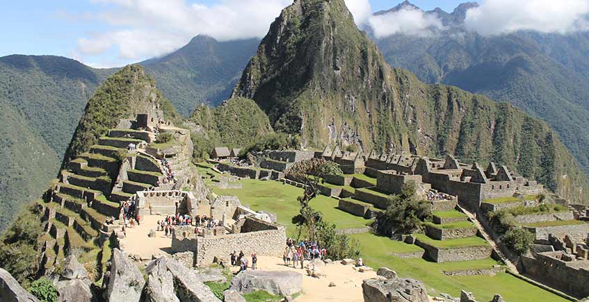
The Inca Trail is not just about reaching Machu Picchu. The route includes ancient stone paths, archaeological sites, and diverse ecosystems, creating a unique trekking experience.
Yes. The Inca Trail is a regulated route, and permits are limited. They must be booked through authorized operators, often months in advance.
The trek is considered moderate to challenging due to altitude and steep sections. Proper acclimatization in Cusco is essential before starting.
The best time to hike the Inca Trail is during the dry season (May to September), when weather conditions are more stable, and views are clearer.
The final arrival at Machu Picchu through the Sun Gate is one of the most iconic moments in trekking worldwide, making the journey as important as the destination.
Understanding these key facts helps you prepare better and choose the right experience for your trip.
Ready to explore the Inca Trail?
Compare all Inca Trail tours and choose the best option for your adventure.